Description
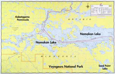
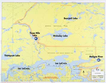
A detailed hydrographic map of Namakan Lake covering the area from Kabetogama and Sullivan Bay on the west to Hammer Bay on the east. (See map E-1 for Namakan Narrows entrance from Crane Lake.) Water depths, reefs, buoys, campsites, sections, portages, trails, and Voyageurs Park boundaries are shown. Bold lake names shown not actually printed on map.
Size 22-1/4″ x 34-1/2″, Scale 2-1/8″ = 1 mile, Waterproof*
Lakes On Map
Namakan Lake
Sand Point Lake
Reviews
There are no reviews yet.