Description
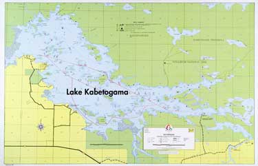
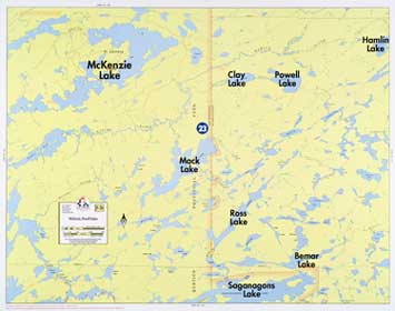
A large scale map of Kabetogama showing Coast Guard buoys, reefs, and shallows. Lake bottom contours are shown at depth intervals of 10 feet. Bold lake names shown not actually printed on map.
Size 22″ x 34″, Scale 2-1/8″ = 1 mile, Waterproof*
Lakes On Map
Lake Kabetogama
Reviews
There are no reviews yet.