Description
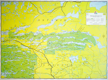
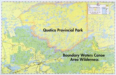
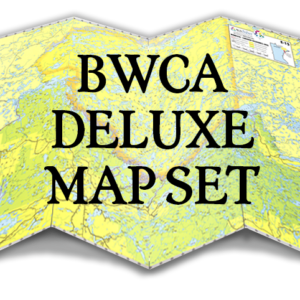
Size 22″ x 34″, Scale 1-1/ 4″ = 1 mile, Waterproof*
Similar in nature to the Superior-Quetico maps, in large scale, with greater emphasis on detail such as incorporation of some reef markers, water levels, campsites, B.W.C.A. boundaries, motor routes, etc. Even though these maps are updated and well-marked, they are not intended for navigational use. Bold lake names shown not actually printed on map.
Reviews
There are no reviews yet.